


Please see our HELP PAGE for mail-order instructions, wholesaler policies and other contact information.
|| Virginia/W.Va. || General Reference || Military Records ||
|| Other States || E-Books || New Titles || Home Page || E-Books ||
Copyright 2026 Iberian Publishing Company


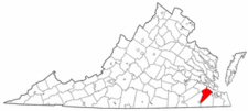 Isle of Wight County was one of the original shires of Virginia established in 1634. For three years, until 1637 it bore the name Warrosquyoake. Only then did its name first appear as Isle of Wight, named for the Isle of Wight off the south coast of England. As first constituted, the new county bore a vague boundary description which was clarified by several Acts (1639/40), 1642/43, and 1647). It included the land south of the James River between Nansemond County on its eastern flank and James City County on the northwest. Nansemond land consisting of the Terrascoe Neck and the Ragged Islands was added to Isle of Wight in 1656. In 1769 land west of Chuckatuck Creek and in 1772 Rascow's Neck were also added to Isle of Wight from Nansemond. Finally, in 1749, the only division of the county occurred when the southern portion of the county was taken to form Southampton County.
Isle of Wight's county records have survived with only a few court order books missing. the clerk buried the records to save them from British raiders during the Revolution. Then, when Union cavalry began to raid through the county during the Civil War, the records were transferred west, first to Greensville County and then to Brunswick County.
Isle of Wight County was one of the original shires of Virginia established in 1634. For three years, until 1637 it bore the name Warrosquyoake. Only then did its name first appear as Isle of Wight, named for the Isle of Wight off the south coast of England. As first constituted, the new county bore a vague boundary description which was clarified by several Acts (1639/40), 1642/43, and 1647). It included the land south of the James River between Nansemond County on its eastern flank and James City County on the northwest. Nansemond land consisting of the Terrascoe Neck and the Ragged Islands was added to Isle of Wight in 1656. In 1769 land west of Chuckatuck Creek and in 1772 Rascow's Neck were also added to Isle of Wight from Nansemond. Finally, in 1749, the only division of the county occurred when the southern portion of the county was taken to form Southampton County.
Isle of Wight's county records have survived with only a few court order books missing. the clerk buried the records to save them from British raiders during the Revolution. Then, when Union cavalry began to raid through the county during the Civil War, the records were transferred west, first to Greensville County and then to Brunswick County.
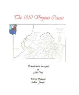 ISLE OF WIGHT CO., VA 1810 CENSUS transcribed by John Vogt. 2009, 8 x 10, x, 27 pages, illustrations, maps, index.
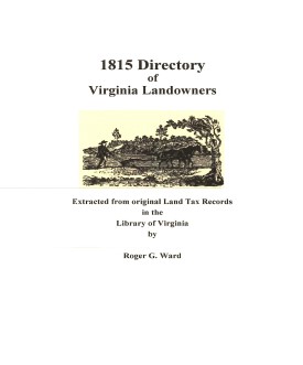 Isle of Wight Co. 1815 Directory of Landowners
by Roger G. Ward. 2005. 33 pages, map, 5 1/2X8 1/2.
Isle of Wight Co. 1815 Directory of Landowners
by Roger G. Ward. 2005. 33 pages, map, 5 1/2X8 1/2.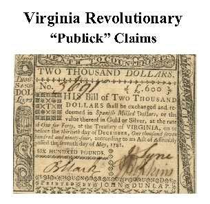 Isle of Wight Co. Revolutionary Public Claims
transcribed by Janice L. Abercrombie and Richard Slatten.. 2005. 33 pages, 5 1/2X8 1/2.
Isle of Wight Co. Revolutionary Public Claims
transcribed by Janice L. Abercrombie and Richard Slatten.. 2005. 33 pages, 5 1/2X8 1/2.