Iberian Publishing Company's On-Line Catalog: Independent City of Petersburg
The present town encompasses land taken from the three counties which adjoin it, namely Dinwiddie, Prince George, and Chesterfield. As early as 1645 a fur trading post and garrison called Fort Henry, then later Peter's Point, was located on the site of an even earlier Indian village named Appamattuck. The present community did not receive its formal established until 1748, and its new name was from a suggestion by William Byrd II, that it honor Peter Jones, his companion on a number of backwoods expeditions. Petersburg was incorporated as a town in 1784 by the annexation of the adjacent communities of Blandford, Pocahontas, and Ravenscroft. It was designated as a city in 1850. In 1972 additional annexations of land were made from both Prince George and Dinwiddie Counties.
Petersburg's court records date from 1784, when the community was incorporated as a town. For earlier records, see the records of Chesterfield, Dinwiddie, and Prince George counties.







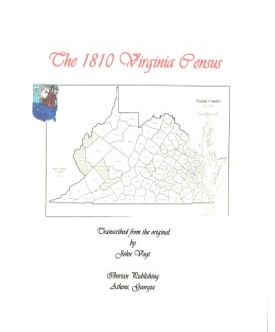 PETERSBURG TOWN., VA 1810 CENSUS transcribed, with an index by John Vogt. 2010, 10 1/2 x 8 1/2, xii, 25 pages, illustrations, maps, index.. This is the first surviving census for Petersburg, since both the 1790 and 1800 censuses have been lost. A complete index is included for easy access.
Though politically still part of Dinwiddie County, Petersburg had grown to the point that in 1810 it was designated with its own census enumerator. With a population slightly over five thousand, Petersburg was one of the premier urban areas of Virginia. One unique feature was the large concentration of free men in the town. About one in five of all citizens was a freed African American, and the slave population plus the free men far outnumbered the white population. Petersburg also was
the locus of a number of commercial enterprises, sprinkled throughout the town, including lumberyards and smithies. It tapped the rich resources of the lands below the James and to the west where population was rapidly expanding.
PETERSBURG TOWN., VA 1810 CENSUS transcribed, with an index by John Vogt. 2010, 10 1/2 x 8 1/2, xii, 25 pages, illustrations, maps, index.. This is the first surviving census for Petersburg, since both the 1790 and 1800 censuses have been lost. A complete index is included for easy access.
Though politically still part of Dinwiddie County, Petersburg had grown to the point that in 1810 it was designated with its own census enumerator. With a population slightly over five thousand, Petersburg was one of the premier urban areas of Virginia. One unique feature was the large concentration of free men in the town. About one in five of all citizens was a freed African American, and the slave population plus the free men far outnumbered the white population. Petersburg also was
the locus of a number of commercial enterprises, sprinkled throughout the town, including lumberyards and smithies. It tapped the rich resources of the lands below the James and to the west where population was rapidly expanding.
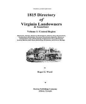 1815 DIRECTORY OF VIRGINIA LANDOWNERS & GAZETTEER, vol. 1 Central Region
(Includes the counties of Albemarle, Amelia, Amherst, Buckingham, Charles City, Chesterfield, Cumberland,
Dinwiddie, Fluvanna, Goochland, Hanover, Henrico, independent city of Petersburg,
independent city of Richmond, Louisa, Nelson, New Kent, Nottoway, Powhatan, and
Prince George.) abstracted by Roger G. Ward. 1997, vi, 239 pages, indices, maps.
1815 DIRECTORY OF VIRGINIA LANDOWNERS & GAZETTEER, vol. 1 Central Region
(Includes the counties of Albemarle, Amelia, Amherst, Buckingham, Charles City, Chesterfield, Cumberland,
Dinwiddie, Fluvanna, Goochland, Hanover, Henrico, independent city of Petersburg,
independent city of Richmond, Louisa, Nelson, New Kent, Nottoway, Powhatan, and
Prince George.) abstracted by Roger G. Ward. 1997, vi, 239 pages, indices, maps.


