ENTRY RECORD BOOK [1], 1737-1770 (Land entries in the present Virginia counties of Halifax, Pittsylvania, Henry, Franklin, & Patrick)
transcribed by Marian Dodson Chiarito. 1984. 432 pages, 8" x 11. This book contains land entries in the western
portion of the original Brunswick County. The area concerned was south of Blackwater Creek and
Roanoke-Stanton River, west of Aaron's Creek (which divides Mecklenburg and Halifax counties), and
extended to the Blue Ridge Mountains. The North Carolina line was the southern boundary. A complete
index of all names, watercourses, mountains, etc.
To view a digital copy of the index to this book, visit Index-Erb1
(Close the pdf file with the left arrow to return to Iberian's catalog)
[Erb1] $47.95 (printed version)
The above title is also available as a digital e-book in PDF format:
[EERB1] $30.00 (electronic version)


 Franklin County, named for Benjamin Franklin, was formed in 1786 from adjoining lands of Bedford and Henry counties. In 1848 the part of Patrick County lying northeast of Smith's River was added to Franklin County, and in 1873 a small part of Franklin was taken away and given to Floyd County. Franklin's boundaries have not changed since that time.
Franklin County's location adjacent to both the Great Valley Road to the Cumberland Plateau and also the Wagon Road into North Carolina spurred many of its inhabitants to join the great migrations out of Virginia in the late eighteenth and early nineteenth centuries.
Franklin County, named for Benjamin Franklin, was formed in 1786 from adjoining lands of Bedford and Henry counties. In 1848 the part of Patrick County lying northeast of Smith's River was added to Franklin County, and in 1873 a small part of Franklin was taken away and given to Floyd County. Franklin's boundaries have not changed since that time.
Franklin County's location adjacent to both the Great Valley Road to the Cumberland Plateau and also the Wagon Road into North Carolina spurred many of its inhabitants to join the great migrations out of Virginia in the late eighteenth and early nineteenth centuries.
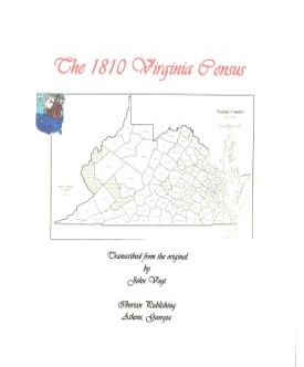 FRANKLIN CO., VA 1810 CENSUS transcribed by John Vogt. 2010, 10 1/2 x 8 1/2, x, 39 pages, illustrations, maps, index. This is the first surviving census for Franklin, since both the 1790 and 1800 censuses have been lost. The manuscript is transcribed in its original form with all beginning and ending notations included.
This document should be a complement to the fine work of Roger Ward (below) on land taxes in the county.
FRANKLIN CO., VA 1810 CENSUS transcribed by John Vogt. 2010, 10 1/2 x 8 1/2, x, 39 pages, illustrations, maps, index. This is the first surviving census for Franklin, since both the 1790 and 1800 censuses have been lost. The manuscript is transcribed in its original form with all beginning and ending notations included.
This document should be a complement to the fine work of Roger Ward (below) on land taxes in the county.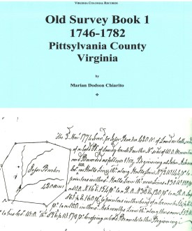 OLD SURVEY BOOK 1, 1746-1782, PITTSYLVANIA COUNTY, VIRGINIA
transcribed by Marian Dodson Chiarito. 1988. 400 pages, 8" x 11.
OLD SURVEY BOOK 1, 1746-1782, PITTSYLVANIA COUNTY, VIRGINIA
transcribed by Marian Dodson Chiarito. 1988. 400 pages, 8" x 11.
 FRANKLIN COUNTY DEATH RECORDS, 1853-96
by Nell Hailey, vi, 296 pages, index. A thorough and
accurate abstraction of all the data contained in the first death register for Franklin County. Many older
inhabitants can be traced into the eighteenth century from the extrapolation of the data given on their death
record. A valuable resource.
FRANKLIN COUNTY DEATH RECORDS, 1853-96
by Nell Hailey, vi, 296 pages, index. A thorough and
accurate abstraction of all the data contained in the first death register for Franklin County. Many older
inhabitants can be traced into the eighteenth century from the extrapolation of the data given on their death
record. A valuable resource.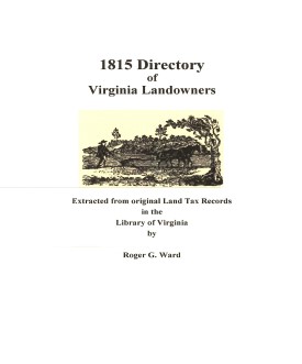 Franklin Co. 1815 Directory of Landowners
by Roger G. Ward. 2005. 31 pages, map, 5 1/2X8 1/2.
Franklin Co. 1815 Directory of Landowners
by Roger G. Ward. 2005. 31 pages, map, 5 1/2X8 1/2.