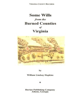
 SOME WILLS FROM THE BURNED COUNTIES OF VIRGINIA
compiled by William Lindsay Hopkins. 6x9 format. Wills from
circa 1670-1830. Brunswick, Buckingham, Caroline, Charles City, Dinwiddie, Elizabeth City,
Gloucester, Hanover, Henrico, James City, King George, King and Queen, King William, Mathews,
Nansemond, New Kent, Prince George, Prince William, Stafford, and Warwick Counties, Va.
SOME WILLS FROM THE BURNED COUNTIES OF VIRGINIA
compiled by William Lindsay Hopkins. 6x9 format. Wills from
circa 1670-1830. Brunswick, Buckingham, Caroline, Charles City, Dinwiddie, Elizabeth City,
Gloucester, Hanover, Henrico, James City, King George, King and Queen, King William, Mathews,
Nansemond, New Kent, Prince George, Prince William, Stafford, and Warwick Counties, Va.
To view a digital copy of the index to this book, visit Index-Swbc
(Use your back arrow to return to Iberian's catalog)
[Swbc] $32.00
The above title is also available as a digital e-book in PDF format:
[ESwbc] $20.00 (electronic version)
For records pertaining to Elizabeth City COUNTY, VIRGINIA see:
Chart on the Formation of Virginia Counties
Atlas of County Boundary Changes in Virginia, 1634-1895
Index to the 1810 Virginia Census






 Originally this county was called Kiccoughtan, but in 1619 or 1620 the name was changed to Elizabeth City in honor of Elizabeth, daughter of James I. This town is the oldest English-settled community in America. When the shire system was created in 1634, the shire was given the same name as the town. The first documented division of this original county occurred in 1636 when the territory south of Hampton Roads was taken to create the county of New Norfolk. There followed a long hiatus until 1882 when the division line between Warwick and Elizabeth City was altered slightly around Newport News. In 1952 Elizabeth City County was extinguished as a political entity and incorporated into the independent city of Hampton.
The county seat of Hampton was burned and records lost during the Revolution, the War of 1812, and the Civil War. Consequently, very few records prior to 1865 have survived. The county's record series after 1865 are complete and are archived with the records of the City of Hampton.
Originally this county was called Kiccoughtan, but in 1619 or 1620 the name was changed to Elizabeth City in honor of Elizabeth, daughter of James I. This town is the oldest English-settled community in America. When the shire system was created in 1634, the shire was given the same name as the town. The first documented division of this original county occurred in 1636 when the territory south of Hampton Roads was taken to create the county of New Norfolk. There followed a long hiatus until 1882 when the division line between Warwick and Elizabeth City was altered slightly around Newport News. In 1952 Elizabeth City County was extinguished as a political entity and incorporated into the independent city of Hampton.
The county seat of Hampton was burned and records lost during the Revolution, the War of 1812, and the Civil War. Consequently, very few records prior to 1865 have survived. The county's record series after 1865 are complete and are archived with the records of the City of Hampton.
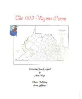 ELIZABETH CITY CO., VA 1810 CENSUS
transcribed by John Vogt. 2009. 8 x 10, x, 13 pages, illustrations, maps, full name index. Included in the census is a separate listing of the inhabitants of the town of Hampton.
ELIZABETH CITY CO., VA 1810 CENSUS
transcribed by John Vogt. 2009. 8 x 10, x, 13 pages, illustrations, maps, full name index. Included in the census is a separate listing of the inhabitants of the town of Hampton.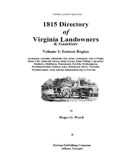 1815 DIRECTORY OF VIRGINIA LANDOWNERS & GAZETTEER, vol. 3 Eastern Region
(Includes the counties of Accomack, Caroline, Elizabeth City, Essex, Gloucester, Isle of Wight, James City, King and Queen, King George, King William, Lancaster, Mathews, Middlesex, Nansemond, Norfolk, Northampton, Northumberland, Princess Anne, Richmond, Surry, Warwick, Westmoreland, York, and the independent city of Norfolk. ) abstracted by Roger G. Ward. 1997, vi, 252 pages, indices, maps.
1815 DIRECTORY OF VIRGINIA LANDOWNERS & GAZETTEER, vol. 3 Eastern Region
(Includes the counties of Accomack, Caroline, Elizabeth City, Essex, Gloucester, Isle of Wight, James City, King and Queen, King George, King William, Lancaster, Mathews, Middlesex, Nansemond, Norfolk, Northampton, Northumberland, Princess Anne, Richmond, Surry, Warwick, Westmoreland, York, and the independent city of Norfolk. ) abstracted by Roger G. Ward. 1997, vi, 252 pages, indices, maps.
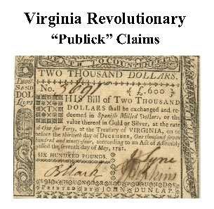 Elizabeth City Co. Revolutionary Public Claims
transcribed by Janice L. Abercrombie and Richard Slatten.. 2005. 17 pages, 5 1/2X8 1/2.
Elizabeth City Co. Revolutionary Public Claims
transcribed by Janice L. Abercrombie and Richard Slatten.. 2005. 17 pages, 5 1/2X8 1/2.


