The Court Doth Order: Records from the Albemarle County and Charlottesville, Virginia Order, Law Order and Minute Books, 1800-1900
by Sam Towler. 2009. vi, 291 pages, map, 8 1/2X11.
The author has spent a number of years transcribing records from the original county and city record books. This volume contains guardianships (Charlottesville); apprenticeships/bound outs; African-American
subjects; citizenship references; revolutionary war, war of 1812 and Civil War references; and miscellaneous orders. More than 12,000 entries are included in the index.
This volume is a major addition to the genealogical record for both Albemarle and Charlottesville.
To view a digital copy of the index to this book, visit Index-Albc
(Use your back arrow to return to Iberian's catalog)
[ALBC] $35.95 (printed version)
The above title is also available as a digital e-book in PDF format:
[EALBC] $25.00 (electronic version)


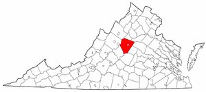 Albemarle County was created on 31 Dec. 1744 from the western portion of Goochland County and it was named for the Earl of Albemarle, titular governor of the colony from 1734 to 1754. At the time of its formation, Albemarle included the territory of the present counties of Amherst, Buckingham, Fluvanna, and Nelson, the southern part of Albemarle, and the northern portions of Appomattox, Bedford, and Campbell counties. The northern parts of present-day Bedford and Campbell counties were detached from Albemarle in 1755 and added to Bedford County. At the same time the northwest portion of present Appomattox was also added to Bedford. The northern portion of Albemarle was established in 1761. First the regions later comprising Amherst, Buckingham, Nelson and northeastern Appomattox counties were detached to form Amherst and Buckingham; also the western part of Louisa was added to Albemarle. In 1769 certain James River islands were also attached to Albemarle's jurisdiction. The final configuration of Albemarle was achieved in 1777 when Fluvanna was detached as a separate entity.
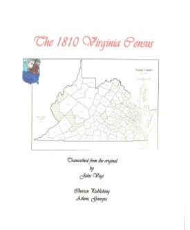 Albemarle CO., VA 1810 CENSUS transcribed by John Vogt. 2009, 10 1/2 x 8 1/2, x, 44 pages, illustrations, map, full name index.
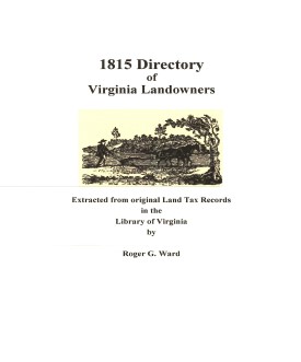 Albemarle Co. 1815 Directory of Landowners
by Roger G. Ward. 2005. 42 pages, map, 5 1/2X8 1/2.
Albemarle Co. 1815 Directory of Landowners
by Roger G. Ward. 2005. 42 pages, map, 5 1/2X8 1/2.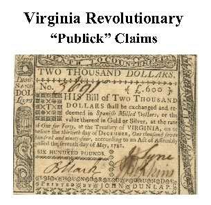 Albemarle Co. Revolutionary Public Claims
transcribed by Janice L. Abercrombie and Richard Slatten.. 2005. 70 pages, 5 1/2X8 1/2.
Albemarle Co. Revolutionary Public Claims
transcribed by Janice L. Abercrombie and Richard Slatten.. 2005. 70 pages, 5 1/2X8 1/2.